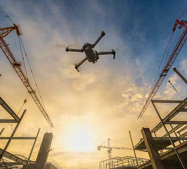
Drone Mapping & Monitoring for Smarter Construction;
High-Resolution Aerial Data for Planning, Progress, and Precision

We are visual production company, specializing in aerial drone videography and photography
See Your Project from a Better Angle!
Map, Monitor, & Verify
Looking for faster, clearer, and safer ways to manage your construction projects? 
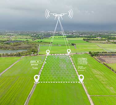
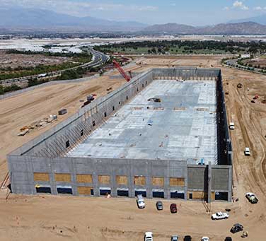
Our professional drone services deliver high-accuracy maps, progress visuals, and as-built documentation that help you stay ahead at every stage — from pre-construction to project closeout.
Forget outdated site photos and slow survey reports. With cutting-edge drone imaging, we provide real-time visual data that improves communication, boosts efficiency, and supports smarter decision-making across your entire project team.
Latest from
our portfolio
Creating promo video is a perfect way to provide success for you product,...
ClientTravel AgencyDateApr 25, 2018
Discover magnificent Iceland with striking landscapes, young lava fields, roaring waterfalls and majestic...
ClientTravel AgencyDateFeb 15, 2019
The beauty of the most exotic and picturesque places in the world is...
ClientHeritage CenterDateJan 12, 2019
Discover our services
People behind the drone
Recent news & articles
If you like constructing things, then building your own drone is an exciting and challenging task…
John J. Simpson
Aerial Drone Pilot
Thomas Patterson
Aerial Camera Operator
Elizabeth Glow
Project Coordinator
Sam Redwood
Production Artist
Mikkey Dee
Drone Pilot